5000m+ thermal tops, but more tricy
Still protected by the Azores anticyclone we still felt the effect of a trough passing through the N of Spain yesterday. Also today a cold front passes to the NE of the Peninsula. The skew T temp trace is similar to yesterday and shows cloud forming with temps in the mid 30s which will allow some congestus clouds, probably significantly deep enough to form rain (snow of high levels of course like yesterday) and possibly storms in the late afternoon.
The winds are higher today and the marked convergence lines we have been getting are absent. Ground level winds upto 20km/hr plus once thermal activity kicks in.
Trigger temp at 12 am is 30ºC with no real inversion below 3000m so the climbs will be good when it gets going, but that maybe late again, though you may need to take of earlier today due to the likely hood of strong winds and turbulence at launch.
Probably a flyable day and some will go far, but not such an enjoyable day as those we have been having.
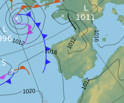
1pm
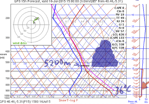
1500
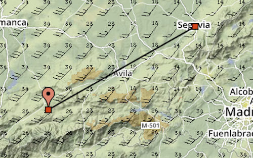
track
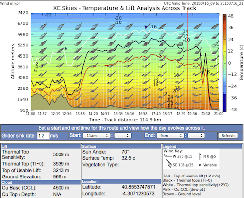
conditions along track
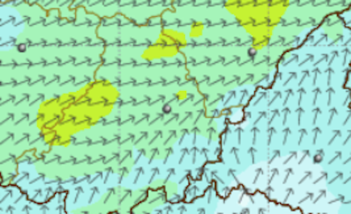
surface winds. nb green is 2okm hr. blue around 5-12