Weather Tuesday 28th June.
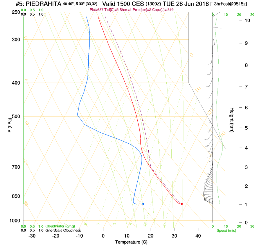
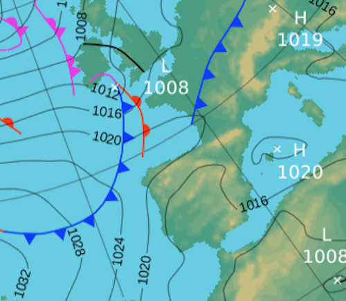
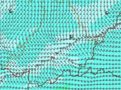
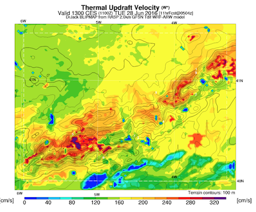
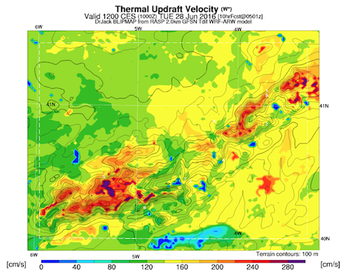
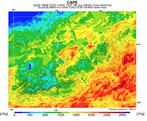
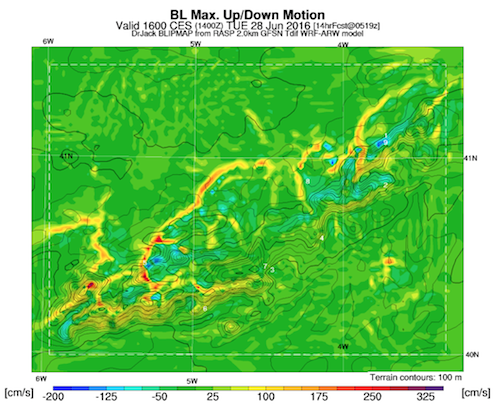
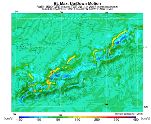
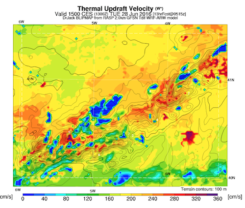
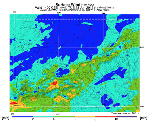
Relative low pressure with most of the upper level instability to our South and East. We should have a good soaring day with excellent XC potential however the build up of congestus and possible Cbs is greater than yesterday. The more westerly flow will provide us with the classic convergence in the Avila valley, most likely along the hills to the north. However, beyond Avila is where the highest likelihood of storms is. Thermal quality is good Valley trigger temp around 28ºC and valley thermal cloud base at 3000m.
For tasking either stay in the Corneja valley or a very early quick flight to a Goal to Avila to ensure the task is not invalidated due to rain or Cbs on track.